
Leaving Anchorage on the Seward Highway and heading to Homer was an interesting 220 miles that only took us 4 days and 3 nights. As we left Anchorage and began to enter the Kenai Peninsula, the scenery was unbelievable with the rugged mountains, some stretching up over 3000 feet, and cliffs with an occasional glacier on one side of the road as we drove along the dramatic shorelines of Turnagain Arm which is arguably one of the most beautiful stretches of highway in America. On the other side was the sprawling, sometimes four-mile wide flats of Turnagain Arm which seem to stretch like a plain to the opposite shores of Cook Inlet, where mammoth sloping mountains abruptly stop their flat expanse. As we continued to drive, each turn revealed another scenic wonder. We knew we would never make it to Homer as planned in one day after several stops at places like: Beluga Point, Windy Point, Bird Point, Girdwood Turnoff (great pastries) and the Alaska Wildlife Conservation Center. Therefore, we will only cover the first leg of the trip to Homer in this post stopping at the Russian River . Another interesting fact about Turnagain Arm is the tides, especially the Bore tides. We copied and pasted the following in our blog of some interesting and hard to believe facts on the Bore tides of Turnagain Arm: “Thousands of years ago, glacial movement carved out what is known today as Turnagain Arm. Extending 43 miles southeast from the head of Cook Inlet, this long body of water with a depth in excess of 1000 feet cradles the southern portion of the Anchorage Bowl, ending near Girdwood, AK. Glacial fed streams and rivers originating in the Chugach Mountains empty their waters into the Arm, and over time, this natural wonder has mostly filled with sediment, transforming what was once a deep fjord into a shallow basin with an ever-changing maze of channels beneath it’s waters.
The draining tide is a sight to see as water rushes towards Cook Inlet, revealing a silt filled gorge with a network of rivers and streams flowing through channels cut by the water’s movement. However, because of the narrow and shallow Turnagain Arm’s length, it is still draining its waters into the Inlet as a new tide begins to rush in. This, along with Cook Inlet’s large tide range of 35 foot plus, creates a phenomenon known as a Bore Tide.
Water from the extreme tidal flux in Cook Inlet floods into Turnagain Arm, overriding the outgoing water and creating an abrupt edge to the incoming tide. This forms a wall of water, resembling a wave, which travels up the Arm at 10- 15 miles per hour. Depending on the depth and width of the channels within Turnagain Arm, Bore tides can range anywhere from 6 inches to 6 feet in height.”
Anyway, enough on Turnagain Arm, we are tired after spending a day site seeing and driving a hundred miles, it’s time to find a place to call home for the night. Our choice was a beautiful state campground on the Russian River which you have to share with the bears. We also met back up with our friends, Al and Debbie, whom we met on our way to Wasilla.
The Seward highway is a dangerous highway to travel during fishing season. There have been 10 deaths this year and 9 have been in the past couple weeks during the salmon runs on the Kenai River.
Some early morning views of Turnagain Arm
Some pictures of extreme low (minus) tides.
These whales are frequent visitors to Turnagain Arm, mainly when the salmon are present
Warnings about the Bore tides
Some fishing regulations
Our campsite on the Russian River
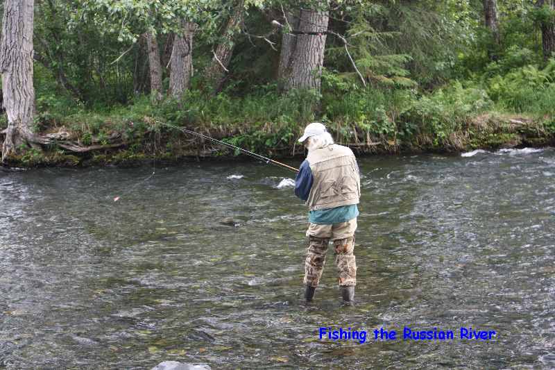
Fishing the Russian River, Notice I said fishing, not catching
Me and Al playing in the Russian River


No comments:
Post a Comment